The first 100 miles

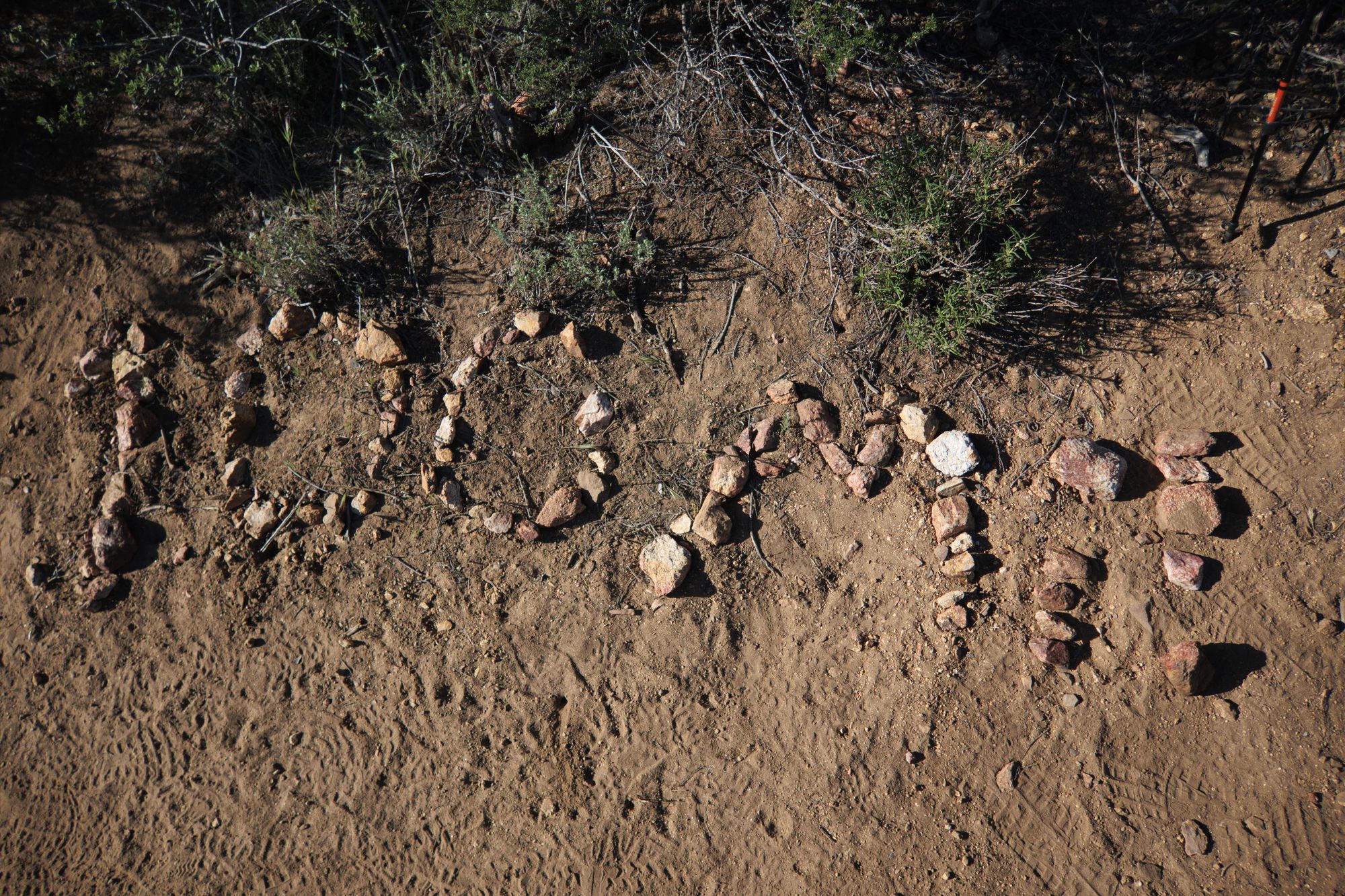
4/29 - Warner Springs, CA - Mile 109
As of today, I've made it over 100 miles on the PCT, which is sort of the first major milestone. Sure, you could think of it as only being 2/53rds of the way there... which doesn't sound all that impressive... but walking 100 miles straight isn't nothing!
It's been a lot of desert, but that doesn't mean the terrain has all been the same. I've hiked through hills, meadows, forests, and the stereotypical sandy expanses, often under some very warm sunshine. Surprisingly, there was plenty of water through the first few days in the form of running streams. The last few days, though, it's been increasingly scarce. One 16-mile waterless stretch was only broken by a cache of water bottles that very kind volunteers bring up the mountain.
Along the way, I've stopped at some interesting places. The biggest was Julian, where there was free pie for PCT hikers from a restaurant called Mom's. There was also a malt shop in Lake Morena, and I'm still kicking myself for not getting a milkshake there.
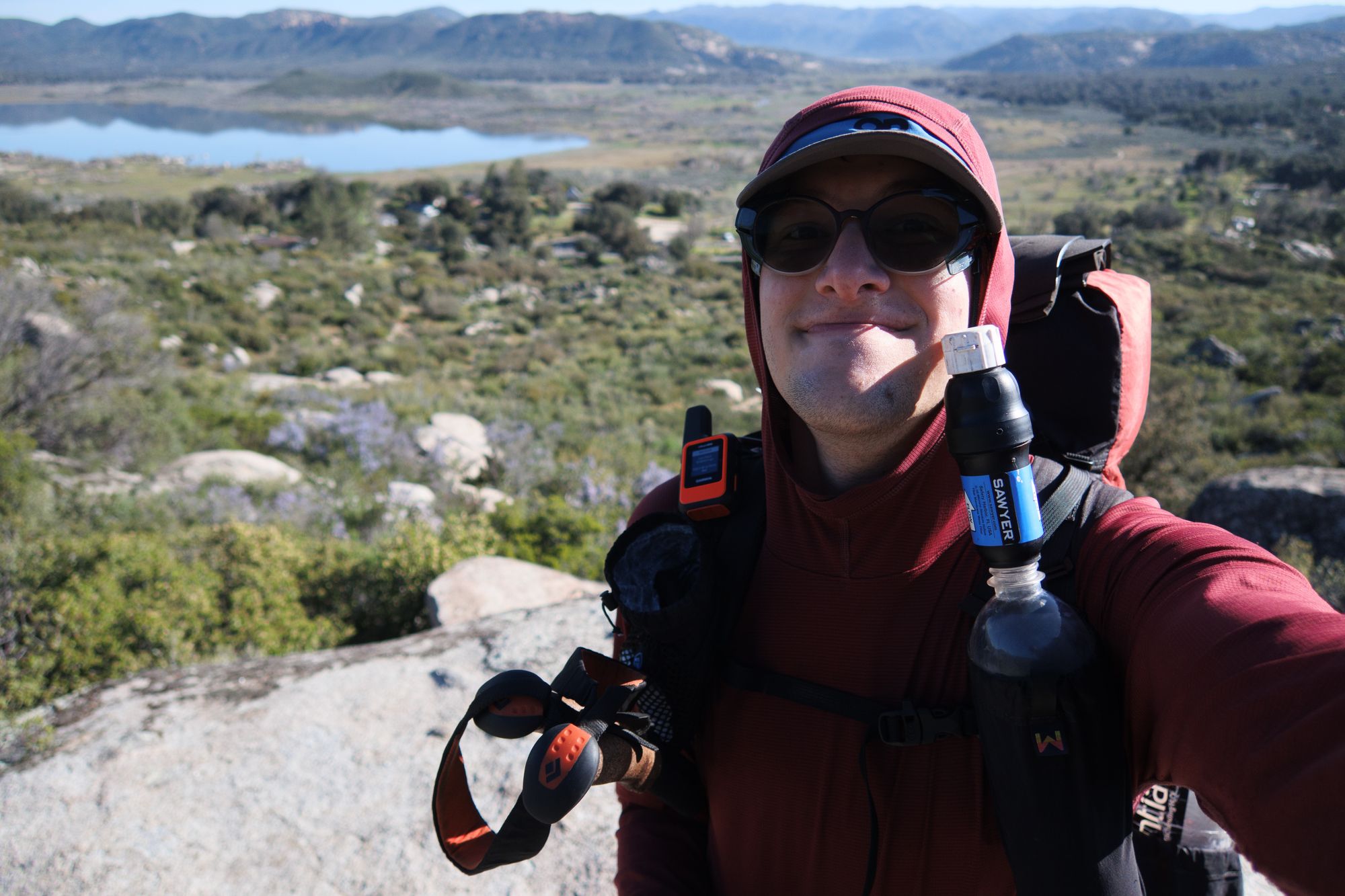
There have been ups and downs, of course, both literally and figuratively. (So far I've hiked roughly 13,500 feet uphill and 12,000 feet downhill.) As I write this I have a bevy of blisters, some sunburnt legs, and a bit of ankle pain that's dogged me since around day 3.
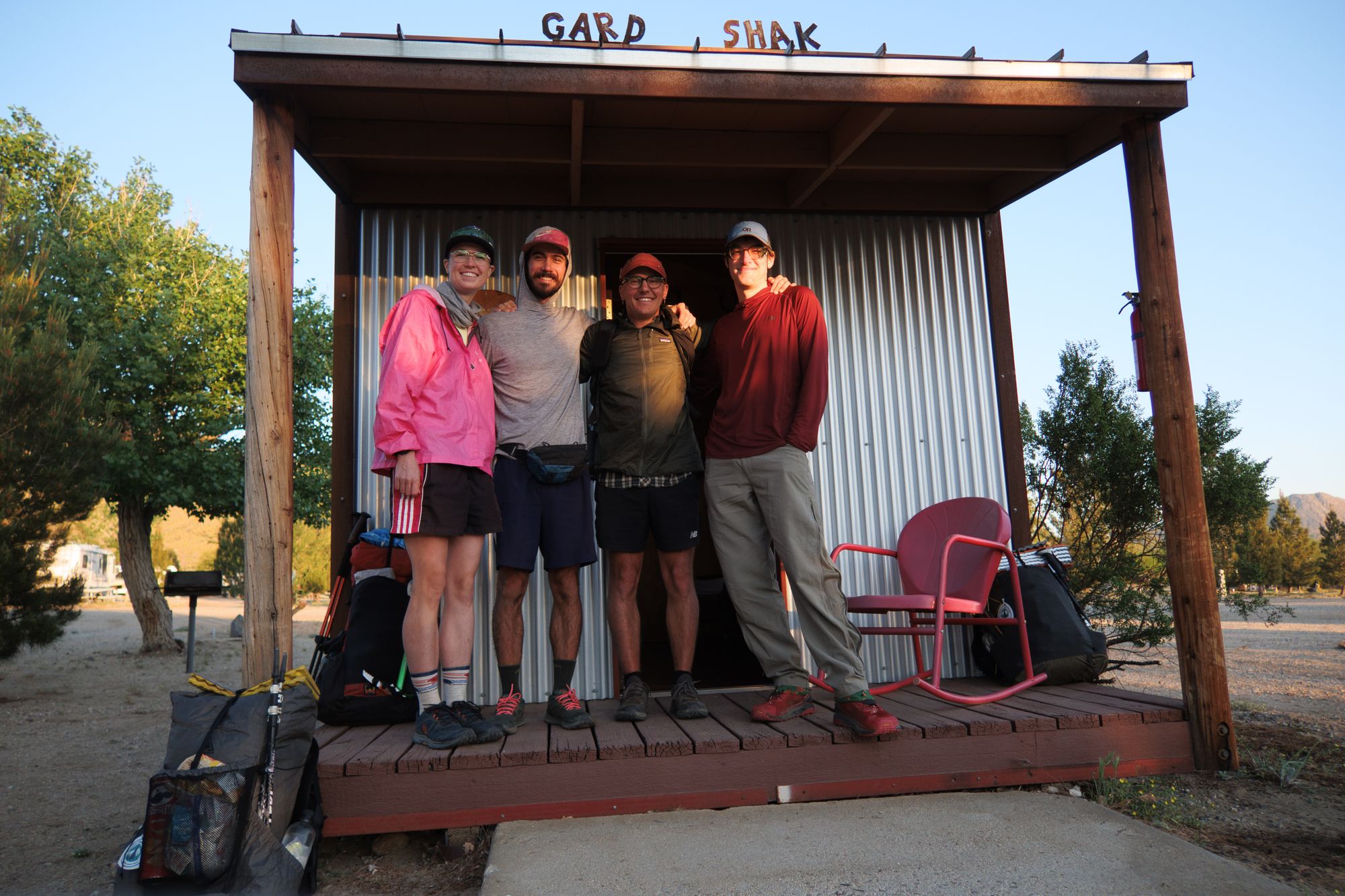
That last one led to me taking an extra day to just hang around at a campsite outside a place called Mount Laguna, which was a perfectly pleasant experience. That's also where I met a couple from Tucson, AZ, named "Door" and "Kidska." (Those are their "trail names," or nicknames people get while hiking long trails like the PCT.) We've been hiking and camping together for the past few days, and hopefully will get to keep doing that for at least a little while longer. They're both around my age, but are very experienced hikers; they've done the Appalachian and Arizona trails, and Door did the PCT last year too. (He's back for round 2, I guess!)
As for what the next 100 miles hold, it'll be a lot of the same -- wake up, break camp, walk a bit, eat, walk a bit more, eat, walk, and then set up camp and go to sleep. Every so often there's some water-gathering thrown in for fun. However, around mile 170 is the first big hurdle of the trail: Mount San Jacinto. Usually it's not a huge deal beyond being a ton of uphill, but it's currently covered in snow, which could make for a treacherous summit.
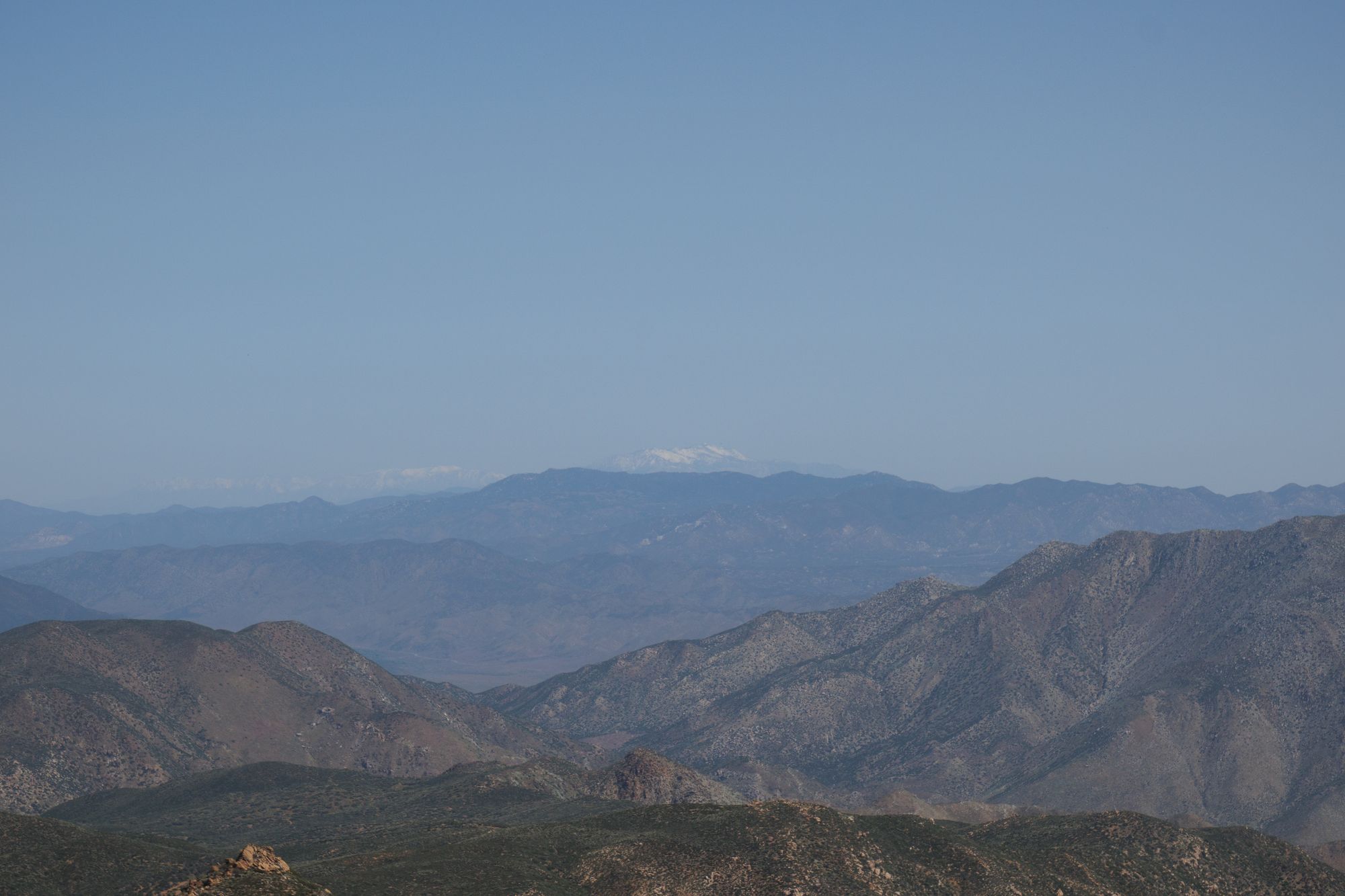
There are various reports and opinions on how difficult it'll be to hike over it, but it's hard to tell exactly what it's like until you get there. Conditions could change quickly, so I'll just have to see what things look like when I get there and make the call on whether to find an alternate route or attempt it. Rest assured I have my ice axe and crampons ready to go if I do end up tackling the snow.
But for now, Door, Kidska, and I are planning on going into a small town called Warner Springs, where we'll likely buy a fair amount of mildly horrifying junk food to carry us through to the next town, Idyllwild. After that, it's back to hiking!